

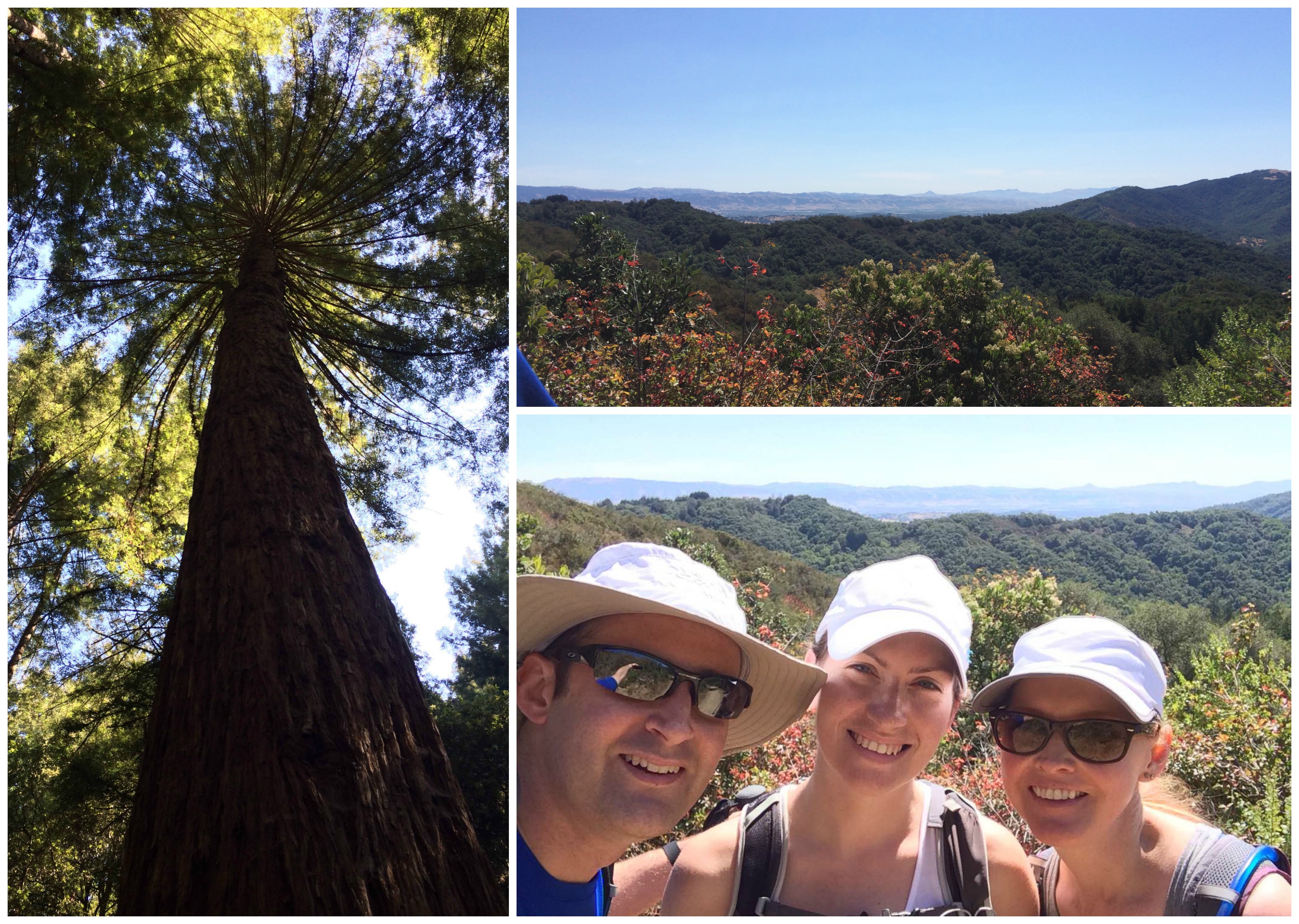
So, turns out the US was nice enough to have a holiday for Mrs M’s birthday this year, and she decided what better way to start the day than an nice gentle hike. Unfortunately actual Madonna was busy, so instead we chose to hike at Mt Madonna. We have been to Mt Madonna before, which mostly involved hiking in the clouds, so this time was quite different. Thankfully the trails are mostly sheltered under the canopies of the <insert correct tree type here, I’m not sure exactly what they are but they are big> trees, and with it being another scorcher of a day here in the Bay, it was a little cooler up in the mountains, and a perfect day for a hike. We set off early and collected our fearless leader D’Ivy [Dog Ivy, as opposed to our human friend of the same name, H’Ivy]. After a windy (that’s winding roads, not a blustery gale) drive up Pole Line Road from Hecker Pass Hwy, we reached the main entrance. Expect to pay $6 to the friendly Park Ranger Person, and then be on your way. We parked by the Amphitheater and made sure to start our various FitBits, watches and phones to record our progress.

Setting off along the Upper Miller Trail, we joined Blue Springs Trail and continued to descend (much to Steph’s delight) to meet Pole Line Road. More shady downhill sections followed as we took BlackHawk trail along the creek (which, unlike its name suggests does not contain any actual water). BlackHawk Trail is only partially open, as landslide activity has permanently closed a large section of the trail after the junction with Contour Trail. This diversion means taking Contour Trail towards Ridge Trail, where there are options for a long loop (continuing to Sprig Recreation Area and the start of the Merry-Go-Round Trail), or a shorter alternative via Tie Camp Trail.
Opting for the shorter route, as things were hotting up and we didn’t fancy the full extent of the climb back from 560ft, we continued our Hike along Tie Camp Trail, starting at around 1000ft and winding its way slowing back along the ridge under the trees to intersect Merry-Go-Round at around 1400ft. Here the climb becomes a little more exposed… 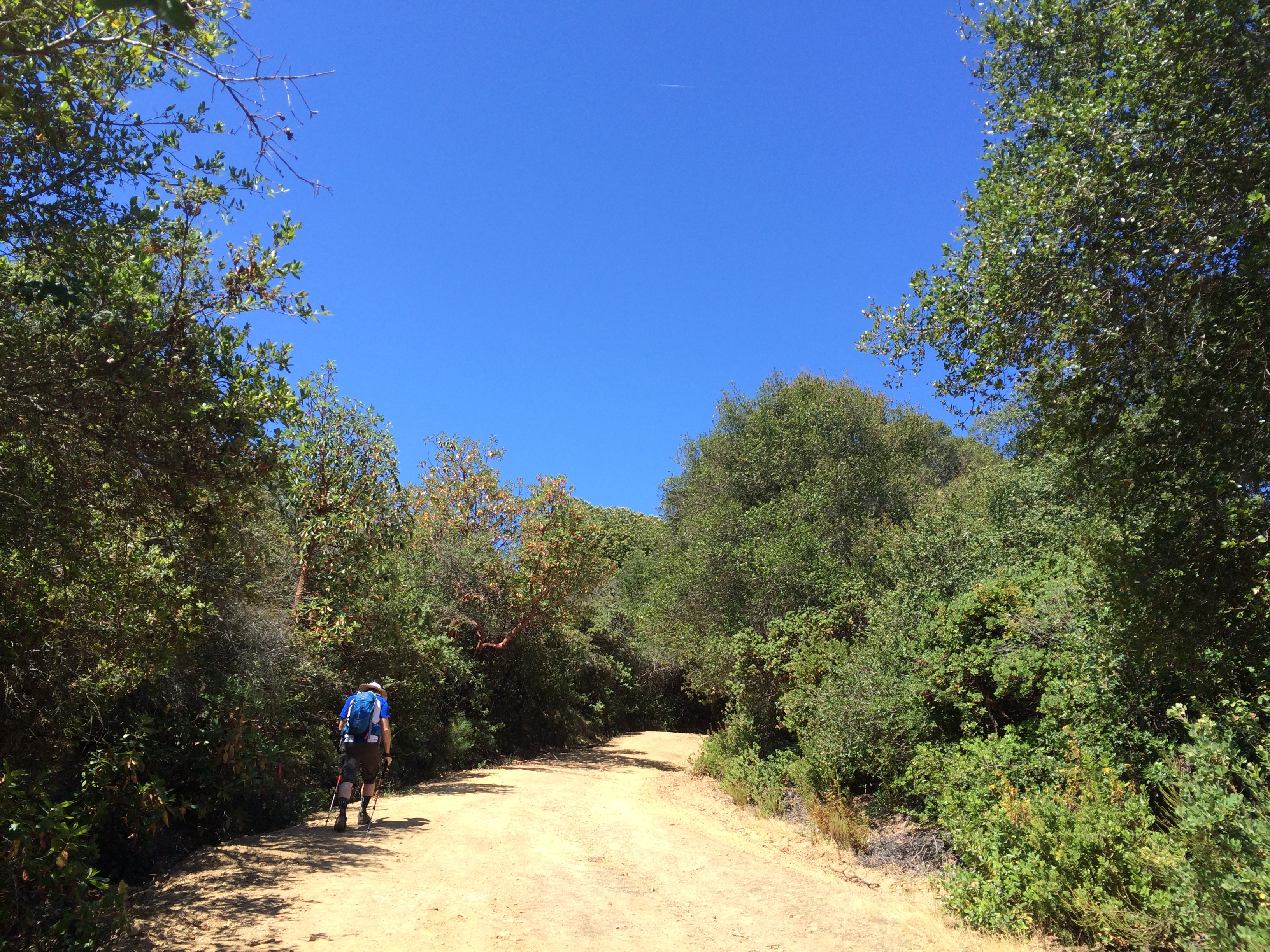
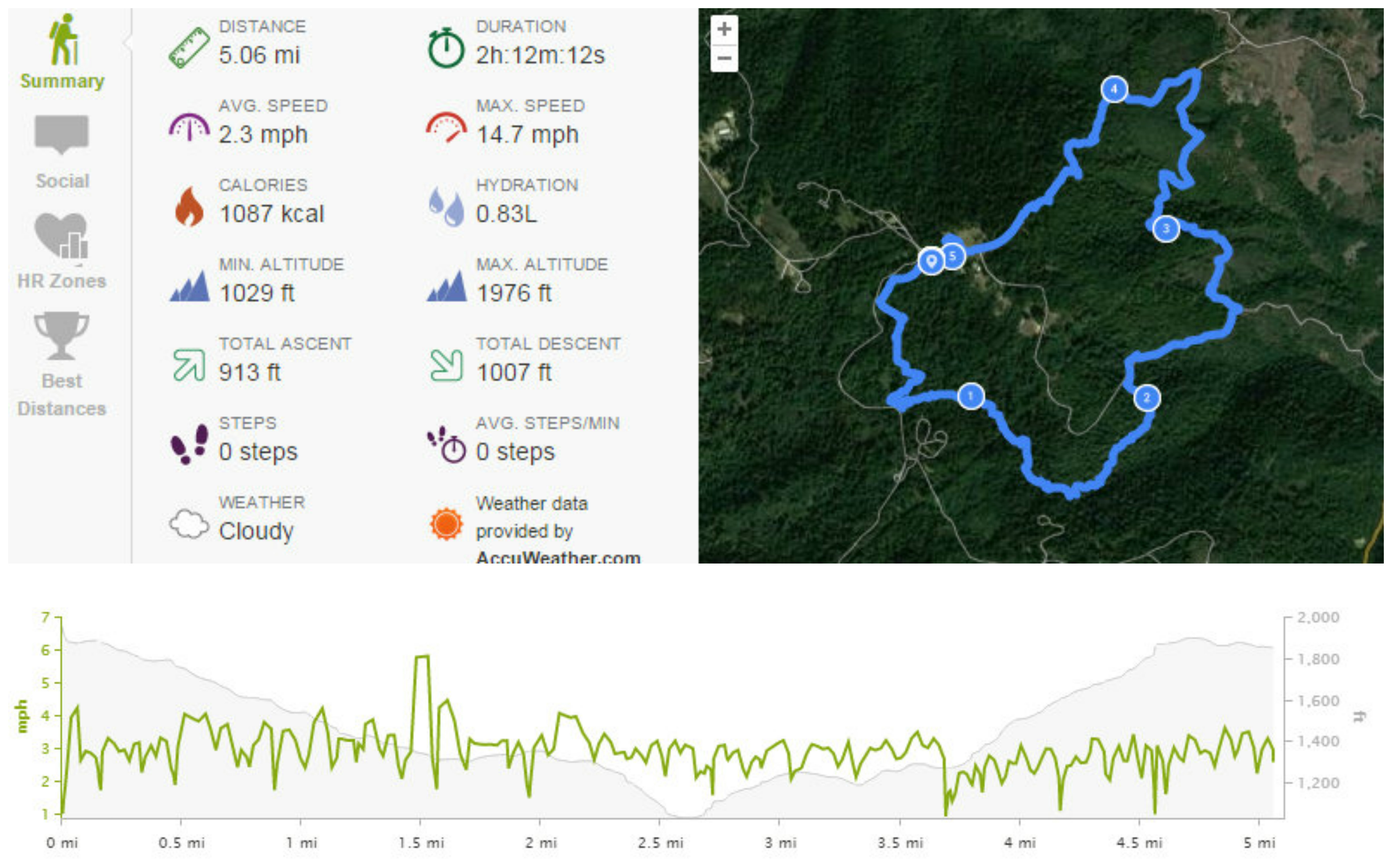
After a half mile, we took Loop Trail heading south until it meets the cut-off, which was our only option at this point as the main Loop Trail was closed. After a short but fairly steep climb up Loop Trail Cut-Off, we reached Lower Miller Trail, and soon after the car park was visible again. Clocking just about 5 miles, and nearly 1000ft descent/ascent, we totally deserved a Stack’s brunch, so we set off back down the mountain and headed to Campbell to continue Wife’s birthday celebrations.
Lindsay’s Notes: I would recommend doing this hike backwards, particularly on a warm day, as the later portion of the hike is much more exposed, so better to do this going downhill than to have sunshine and incline, and then the uphill hike will be nice and shady 🙂
