Category Archives: Don Edwards San Francisco Bay

Mallard Slough Trail

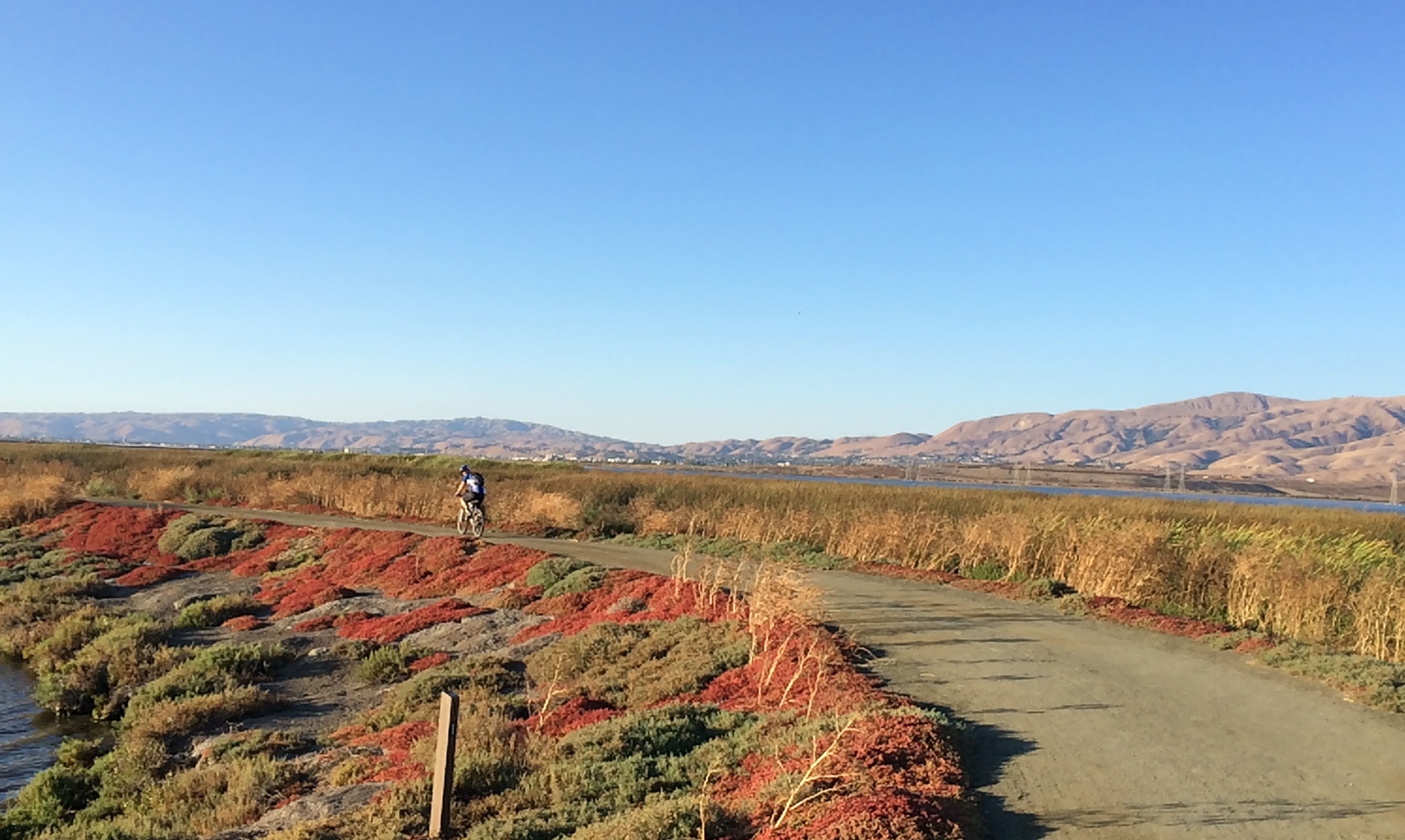
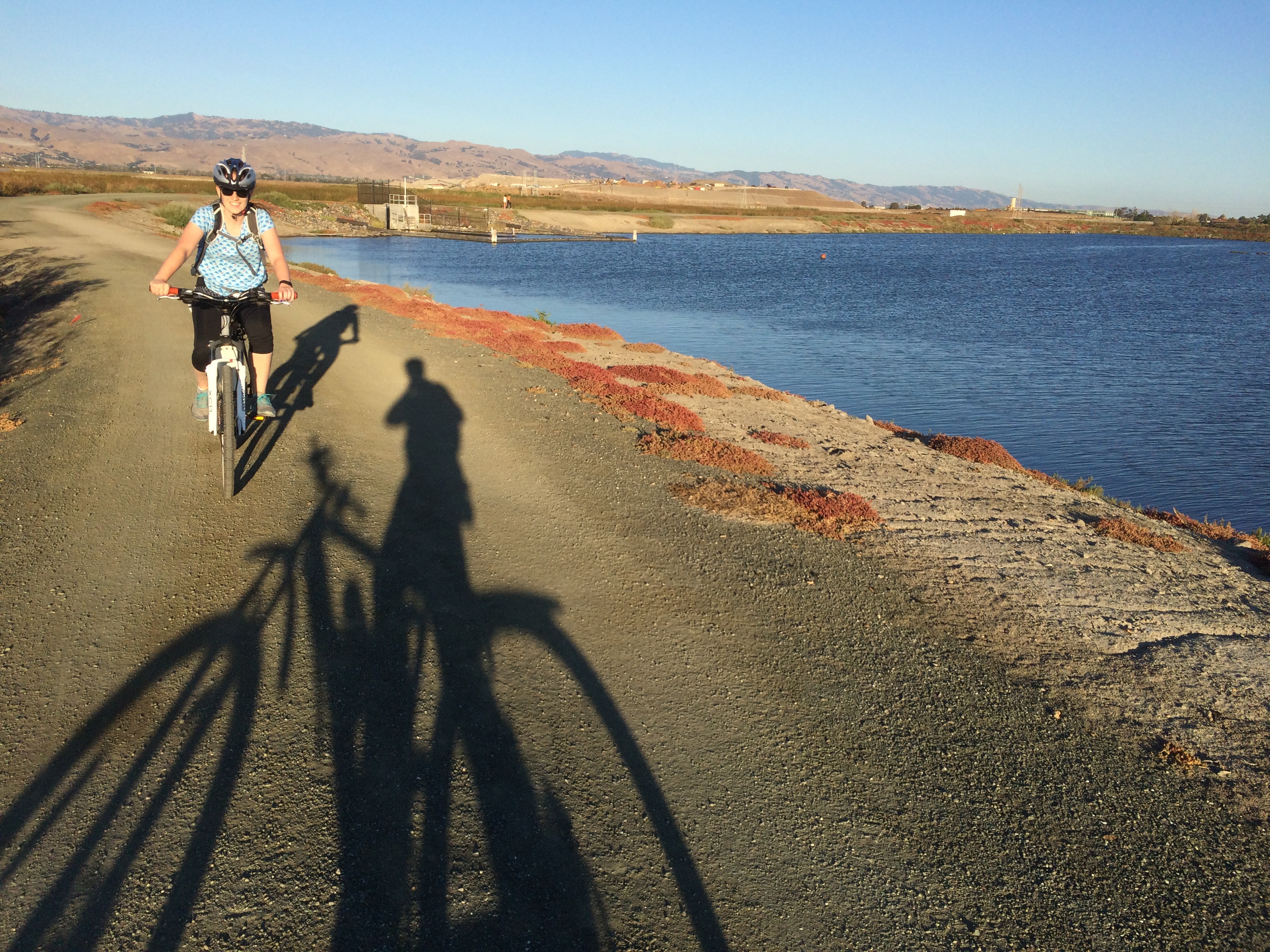
Last night after Andrew finished work, we took a quick cycle out on the Bay.

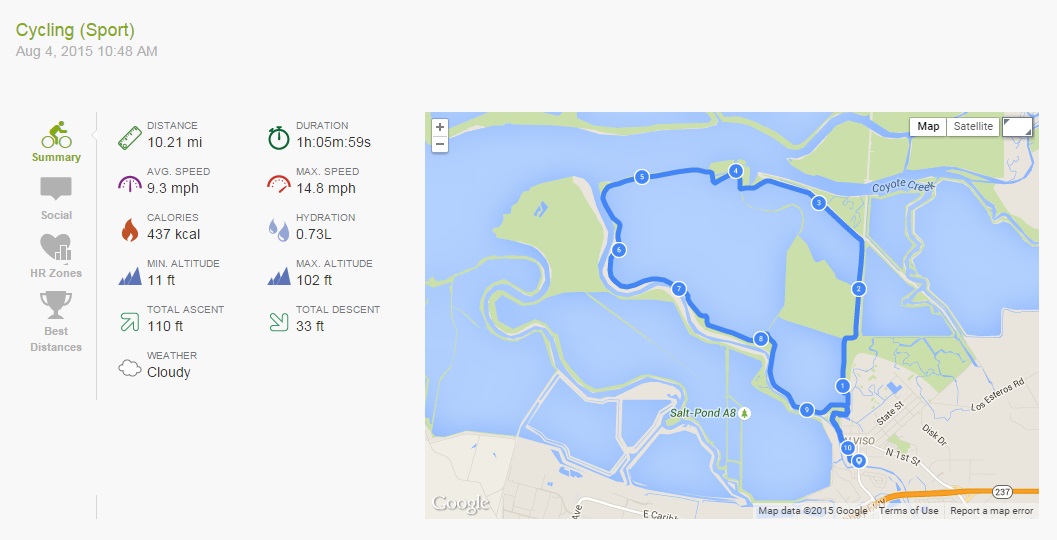
This cycle picks up from the same location as the Alviso Slough Trail, except instead of heading out on that trail, we cycled to the Mallard Slough Trail, a smaller trail to the east pictured in orange on the below map:

Alviso and Mallard Slough Trail

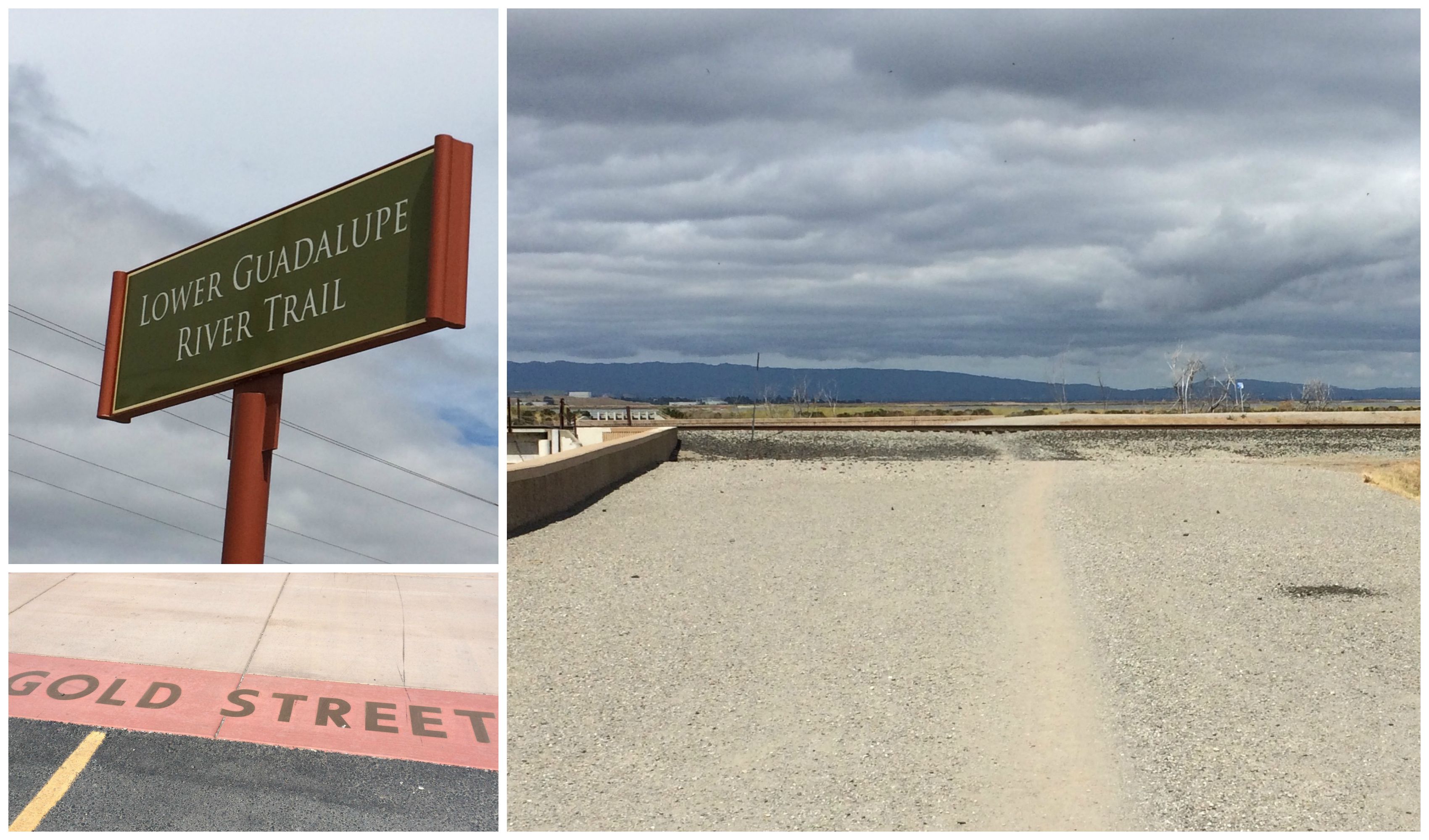
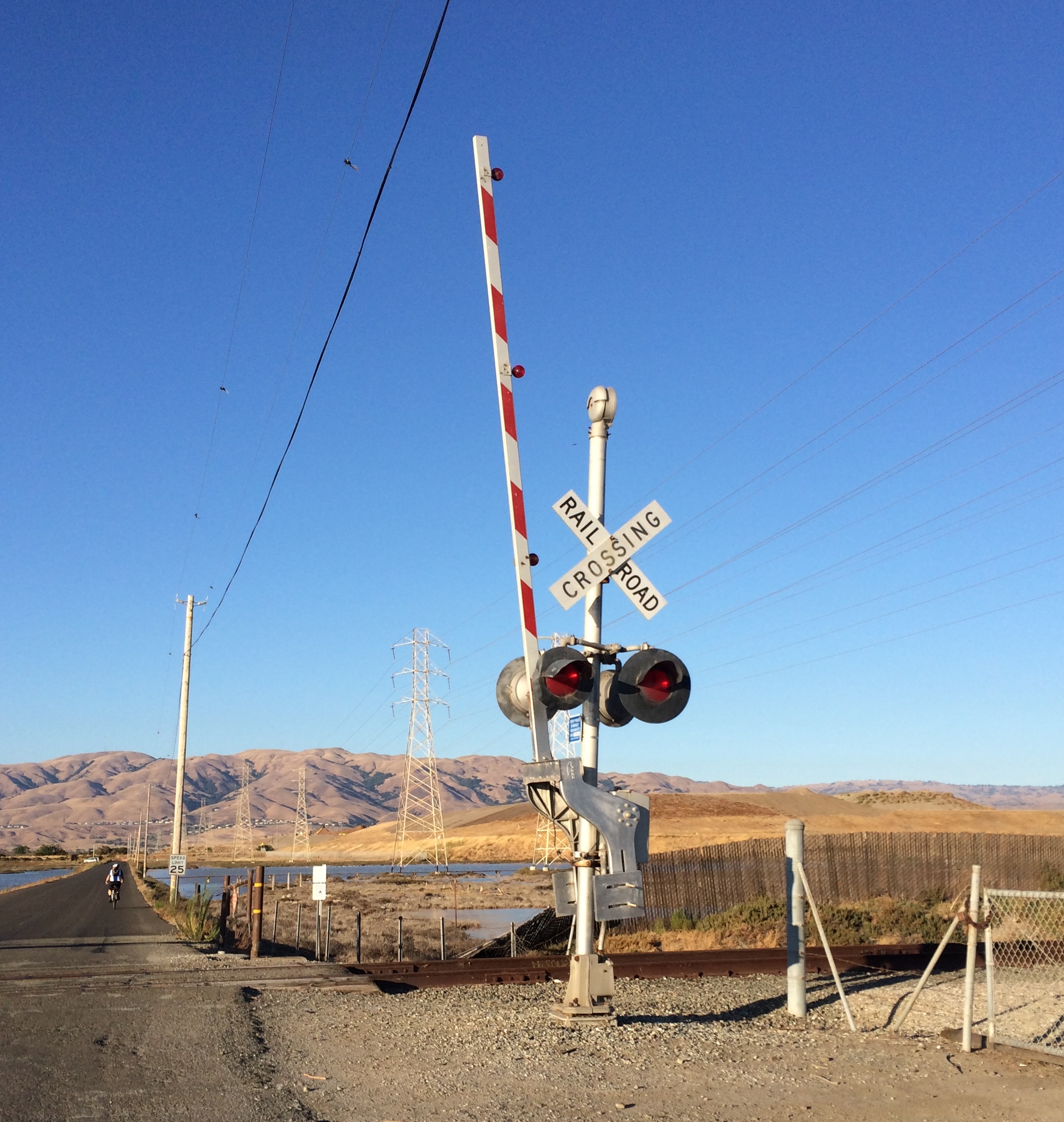
From the end of the Lower Guadalupe River Trail, turn right and follow Gold St-right on Catherine St-left/straight onto State St-right on Spreckles Ave-left on Grand Blvd and left again to stay on Grand Blvd and follow it across the train tracks and round to the car park and US Fish and Wildlife Service buildings by the bay.

Railroad Crossing

The Mallard Slough Trail is 3.3 miles in total, or you can cut across to the Alviso Slough Trail via a bridge over the railroad tracks, and take that trail back to the Alviso Marina County Park parking lot.

Mallard Slough Trail

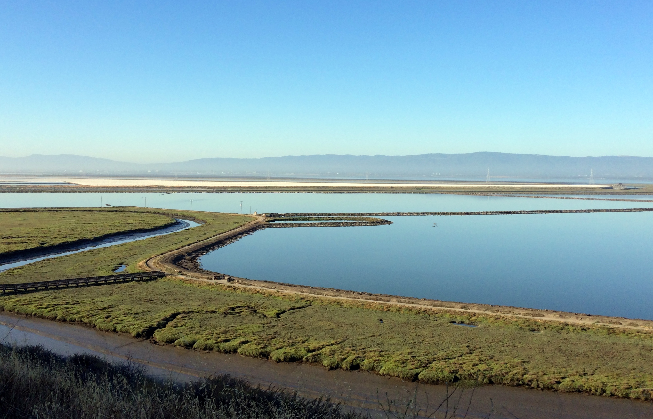
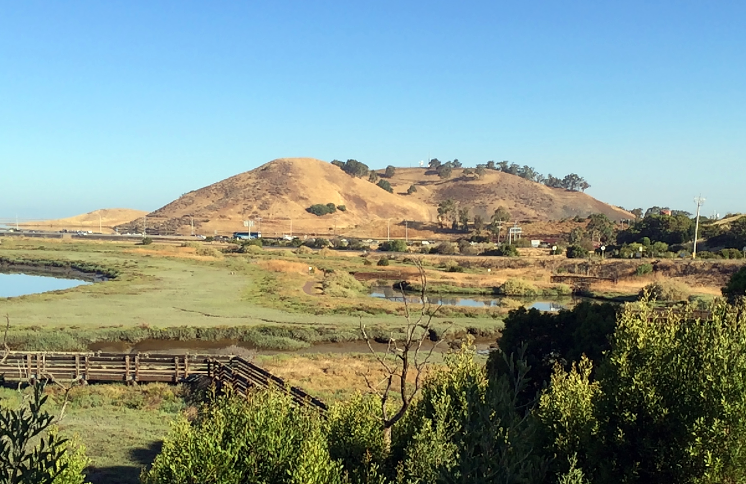
It is a nice, well maintained trail, with vista points and information along the way.

2015.08.11 Endomondo Data

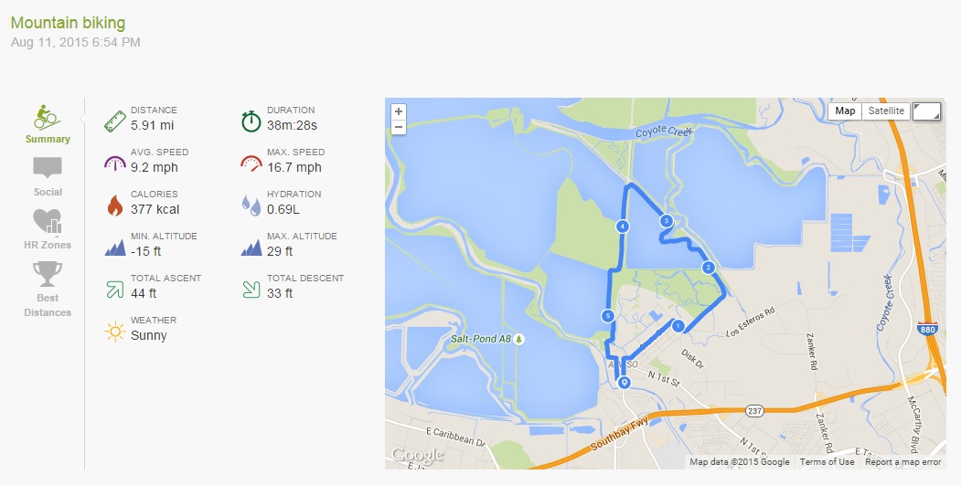
We decided to follow the Mallard Slough Trail, then cut across to the Alviso Slough Trail to go back to the Alviso Marina County Park parking lot, and then followed Hope St-left on Catherine St-right on El Dorado St-left on Moffat St-right on Gold St (the alternative to taking the Public Shore gravel path back across the tracks), and then we were back to the end of the Lower Guadalupe River Trail.

Mallard Slough Trail

Alviso Slough Trail

Yesterday morning I went out on my bicycle for a quick ride around the old salt ponds at Alviso:

Alviso Slough Trail

(You can download the full map here)

These ponds form part of the Don Edwards San Francisco Bay Wildlife Refuge, that extends around most of the lower part of the bay.

The start of this ride is the northernmost end of the Lower Guadalupe River Trail, where it meets Gold Street. If you look across the road at this point, a gravel track leads across the railroad tracks to the public shore, a gravel trail that will take you to the Alviso Marina County Park parking lot.

Lower Guadalupe River Trail


(Note: you could also park at the Alviso Marina County Park parking lot, and start the cycle from there)

Be careful when crossing the tracks that you check for oncoming trains, but you can’t miss them…. they are kinda loud! It is an Amtrak line, so has limited train traffic.

Once at the Marina cycle through the parking lot towards the entrance, then out towards the trail.

The Alviso Slough Trail is 8.6 miles long, the added bit from the end of the Lower Guadalupe River Trail makes this ride 10.2 miles… or at least according to Endomondo:

15.08.04 Endomondo Data


I cycle to the end of the trail first, which adds almost another 7 miles total. It was slightly overcast yesterday, with a bit of a breeze, which can make the cycle a little more challenging, but overall it is a flat, gentle, and scenic cycle. It is also very exposed, so I wouldn’t recommend it on a hot day, but with a breeze it keeps you cool, and also keeps the bay stink from being too overpowering!

Alviso Slough Trail

On a clear day, you can see the hills and mountains all around the bay, and their reflection in the water.Alviso Slough Trail


Also, on a clear day if you look north, up the train lines, you can see some of the remains of Drawbridge, an old abandoned railroad station and ghost town, just hanging out there by the train tracks, and slowly sinking into the mud.

Alviso Slough Trail

Morning Hike: Don Edwards San Francisco Bay National Wildlife Refuge

Yesterday was my last day at work.

It was a happy day as it means that I now have one month off, then Orientation begins, and I get one step closer to being a qualified Clinical Laboratory Scientist.

To mark the occasion, instead of my friend Brooke and I doing our usual Insanity or random Keaira LaShae YouTube workout, we decided that three of us from our team would go for a walk in the Wildlife Refuge that was just near where we worked.

Trail Map

The Don Edwards San Francisco Bay National Wildlife Refuge actually covers quite a lot of the South Bay Marshland, including all the old salt ponds, where salt production used to occur, and in fact still does to a limited extent in the area near Fremont.

You can download a full trail map of this area, and also the area near Alviso here.

This was just a sightseeing walk rather than a hike, very low intensity and casual, we parked at the Visitor Center and took the Tidelands Trail to the top of the hill, where you can take a little extra stroll to an overlook to look out across the bay:

Vista towards the South

Vista towards the North

We then crossed the bridge over the Newark Slough, walked along the trail, and then back across the bridge.

All in all, it was only about 2 miles, and with only approximately 144ft ascent to the top of the hill, but it was surprisingly peaceful and picturesque, especially considering the proximity of the area to the Dumbarton Bridge, and that it was rush hour for everyone else.

Dumbarton Traffic

There are also a few interesting things to look at, such as an old duck hunting cabin, abandoned since the 60s/70s, but that still has the owner’s decoy ducks hung up inside:

Duck Hunting Cabin

… a nice picnic shelter, right over the marsh:

Picnic Shelter

…and there is also the slightly disgusting, but kind of interesting sight of water coming out from under the pump house:

Pump House Froth

Interesting, because dissolved proteins in the water cause the formation of froth as the water is aerated by the action of coming out of the pipe, apparently in much the same way as you whisk egg whites…….

Yuck.

Yet somehow quite hypnotic to watch.

We were really quite pleasantly surprised by how nice it was, but this might be in part because the Bay was not at all stinky that day, especially in comparison to usual!