Sanborn County Park. AKA that time we almost got lost in the woods.

We tried another new park to hike in this week!


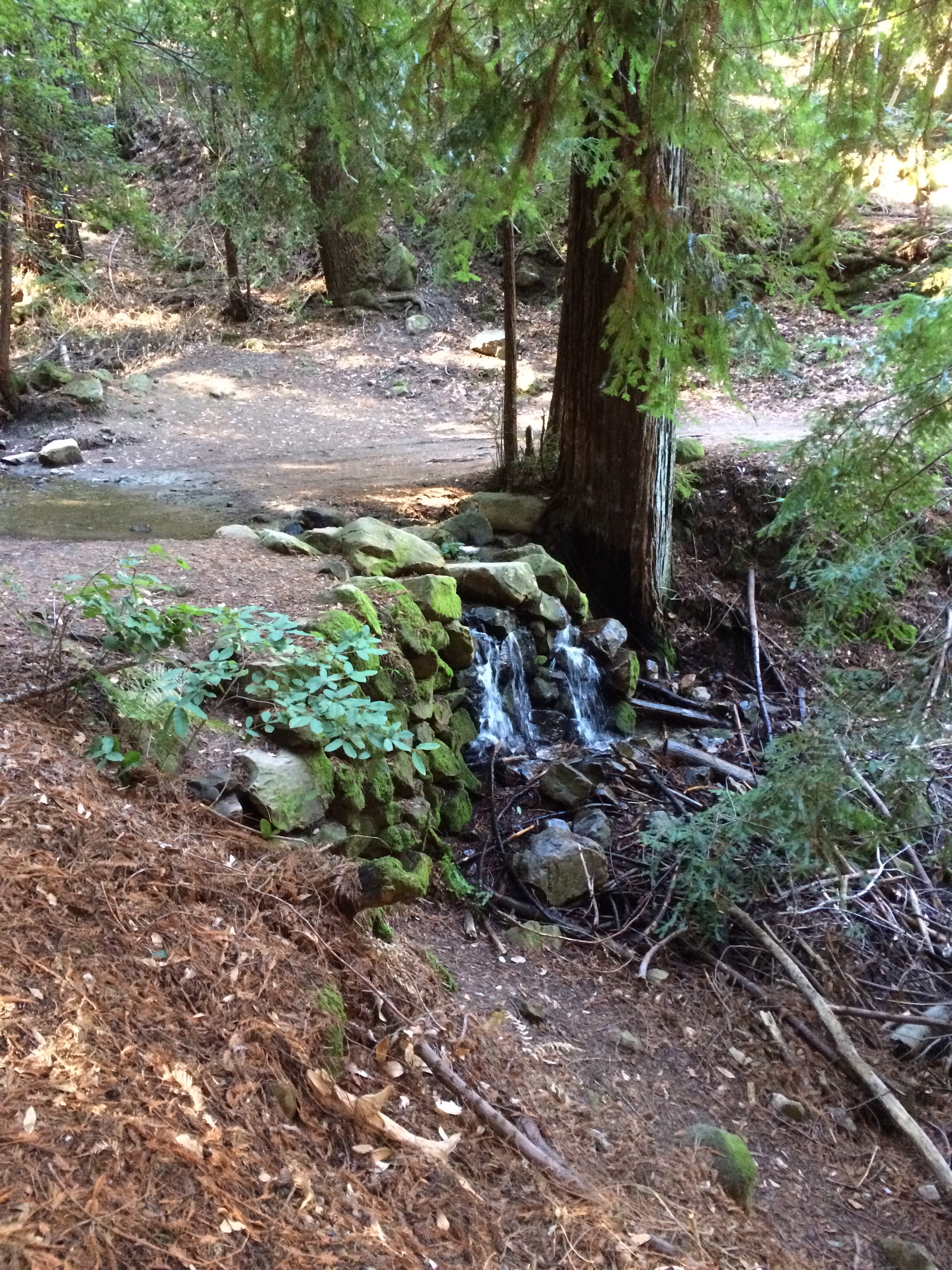
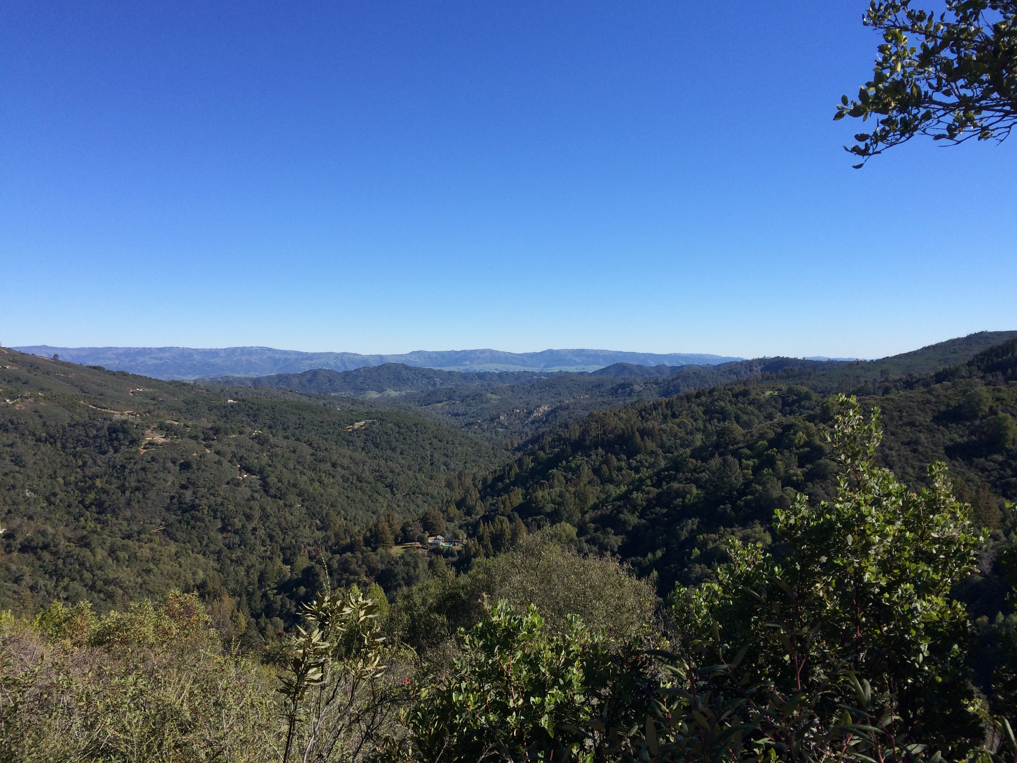
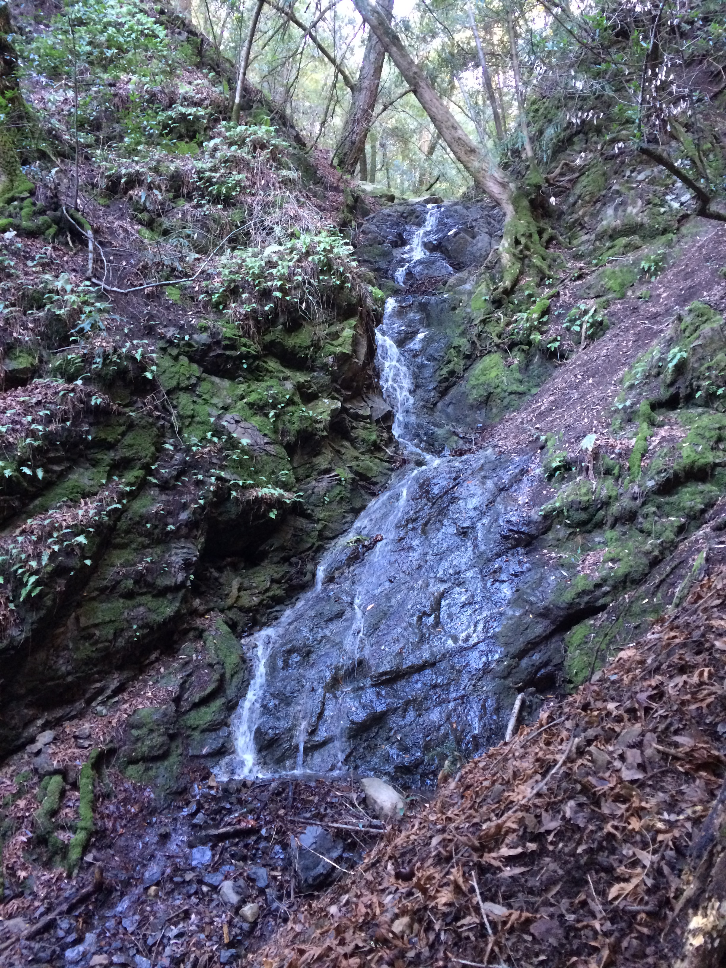
This time we visited Sanborn County Park near Saratoga, it was kind of hilly and shaded by trees, and the weather was nice and sunny outside.

2016.02.08 Endomondo Data

You can download the park map here.

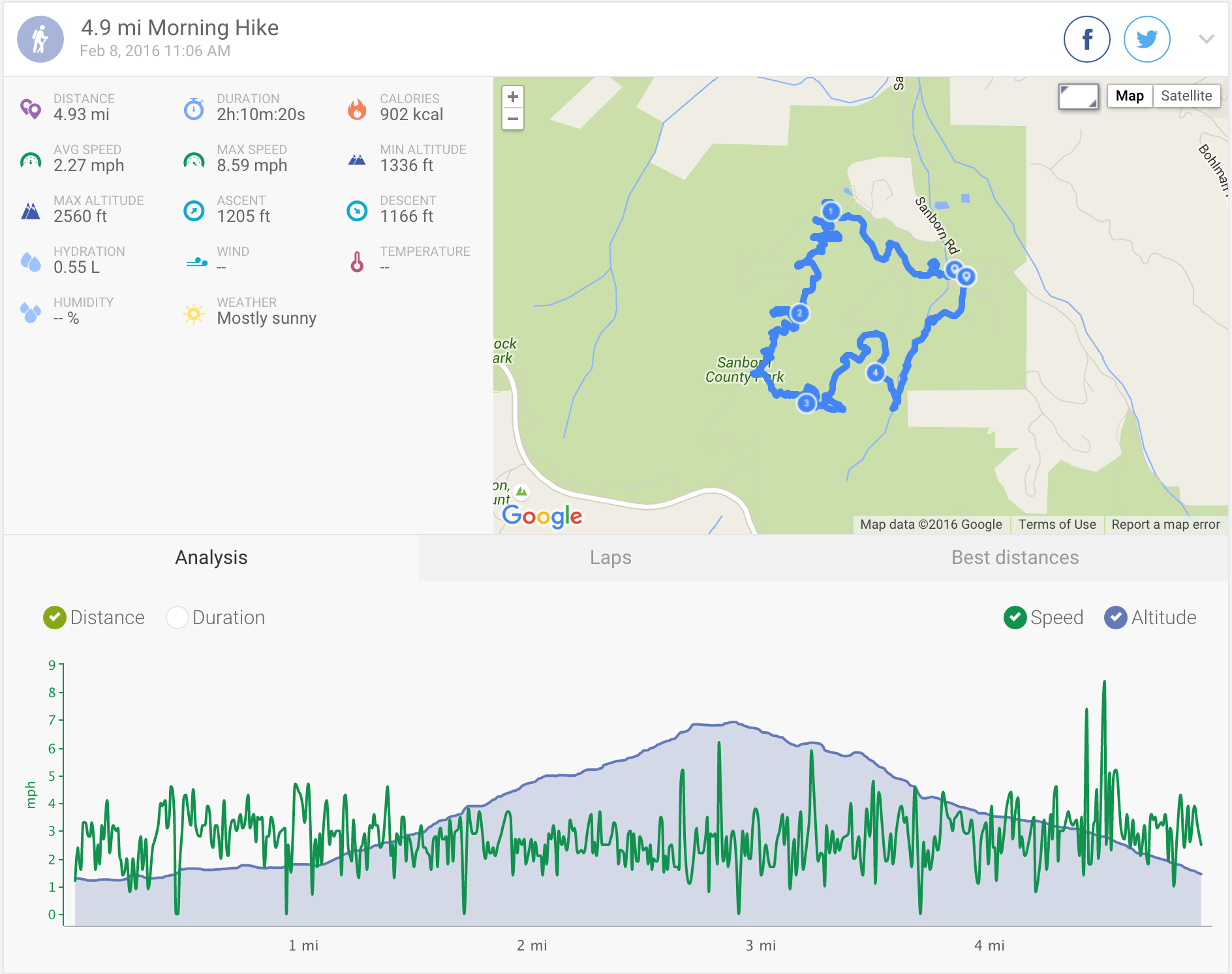
Our route took us from the Peterson Grove parking lot, through the nature trail to the San Andreas Trail. The San Andreas Trail splits into two, both of which are part of the San Andreas Trail, which rejoin again *sigh*. Zero signage.

Keep following the San Andreas Trail until you reach the junction with the Sanborn Trail, go left and follow this for 1.2 miles until you reach the Peterson Trail Junction. Go right, to stay on the Sanborn Trail following it back to the parking lot past the group campsites.

Sanborn County Park

The trails are unfortunately…. pretty poorly signposted, and multiple times the trail split in two with zero signs, to then rejoin into one again…… We didn’t actually get lost though, which may be more due to luck than anything else.

#skillz

I don’t think it was our favourite!

Waterfalls at Uvas Canyon

It was chilly this morning!

We decided to try out a new park that we hadn’t been to before, and browsed the Bay Area Hiker website for inspiration. We decided upon going to Uvas Canyon County Park, and based our hike on the one described here.

The described hike is a loop of 3.2 miles, but we decided to add a little extra to take in another waterfall, and a nice view across to the Diablo range in the east bay from Manzanita Point:

View from Manzanita Point

Parking in the main lot, take the road past the restrooms (featuring running water and SOAP!!!!!) up to the start of the waterfall loop trail. Take the left fork – Alec Canyon Trail, follow the steep trail up to the junction with Contour trail (0.5 miles), instead of going right, for an extra workout and view keep on Alec Canyon Trail up to the junction with the Triple Falls Trail (0.5 miles), taking in Manzanita Point on the way. The walk up to Triple Falls from this junction is 0.2 miles each way, or you can continue on Alec Canyon Trail 0.3 miles towards the Old Logging Camp. Or both 😉

Triple Falls
Triple Falls

We then returned to the junction with the Contour Trail, and followed this to the Basin Falls Trail (1.6 miles), past the Upper Falls and the site of the old Hot House, where all that remains is a sign and some twisty rusted pipes:

Old Hot House Pipes

Upper Falls
Upper Falls

Basin Falls is 0.1 miles each way from this junction.

Continue across the bridge (0.1 miles) towards the junction with Knobcone Trail (a steep there-and-back-again trail of 0.4 miles to Knobcone Point) and then continue onto the Waterfall Loop Road. There is another short 0.1 mile trail just off here to Black Rock Falls.

Black Rock Falls
Black Rock Falls

From here continue following the Waterfall Loop Road down to the parking lot.

2016.02.01 Endomondo Data

It was a really lovely hike, nice and shaded, so still would be great on a sunny warm day.

The Santa Clara County Park website for this park includes both a trail map, and a nature trail guide for the (mostly) wheelchair accessible Waterfall Loop.