Almaden Quicksilver County Park: Mockingbird Hill Lane Entrance

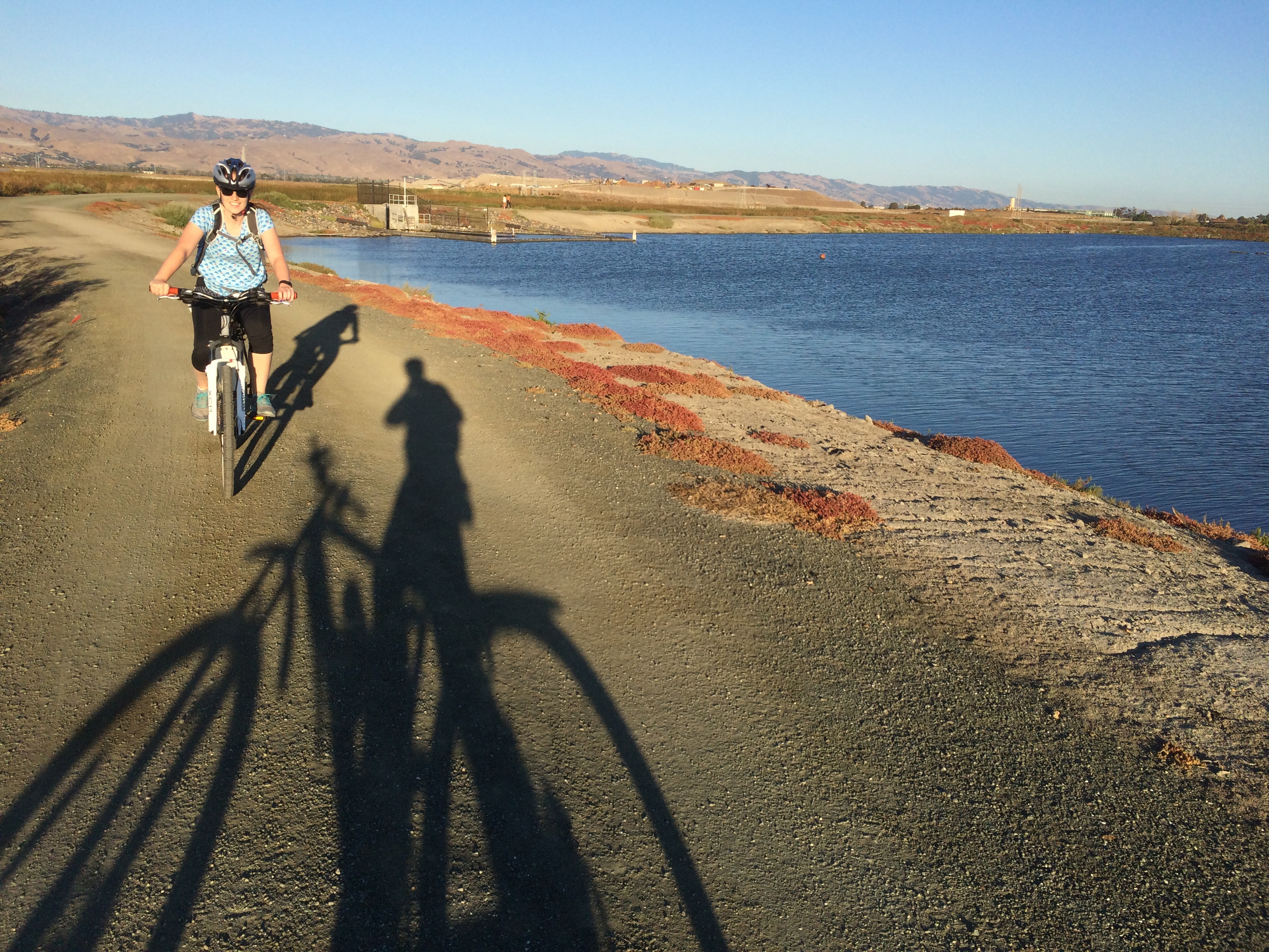
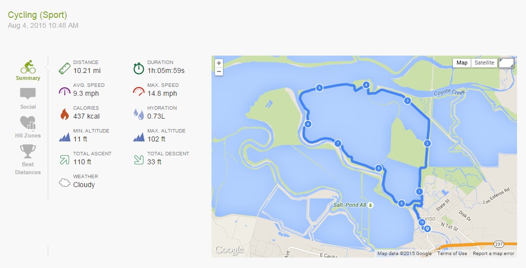
This morning we went on a nice short hike, after a few weekends of not much excitement. The last couple of weekends were all about trying to reduce some of the clutter in our apartment, playing games and eating brunch! My outdoor activity has been limited to jogs along the cycle trail, and cycling up to and around the bay.

Anyway… this morning:

2015.08.29 Endomondo Data

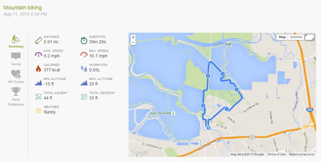
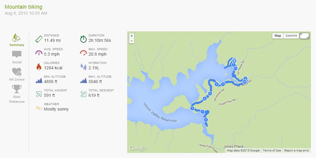
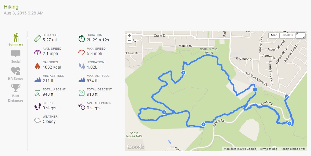
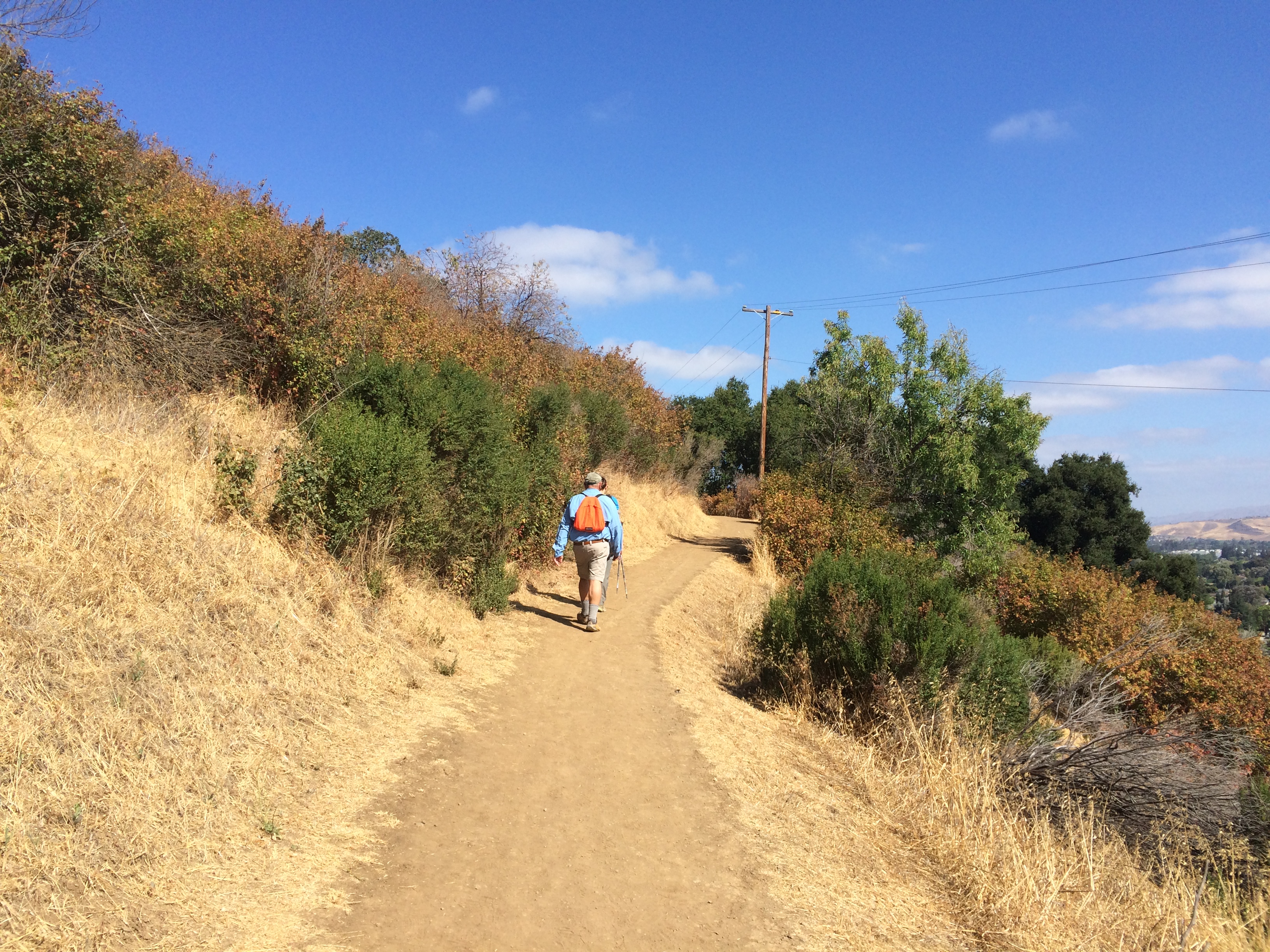
About 3.7 miles of slightly hilly hiking, we started off fairly early to avoid the heat of the daytime. Endomondo claims that the weather was dreary (!), but I can assure you that while the day started off a little cloudy, it was a regular old sunny blue sky day later on!

Almaden Quicksilver County Park

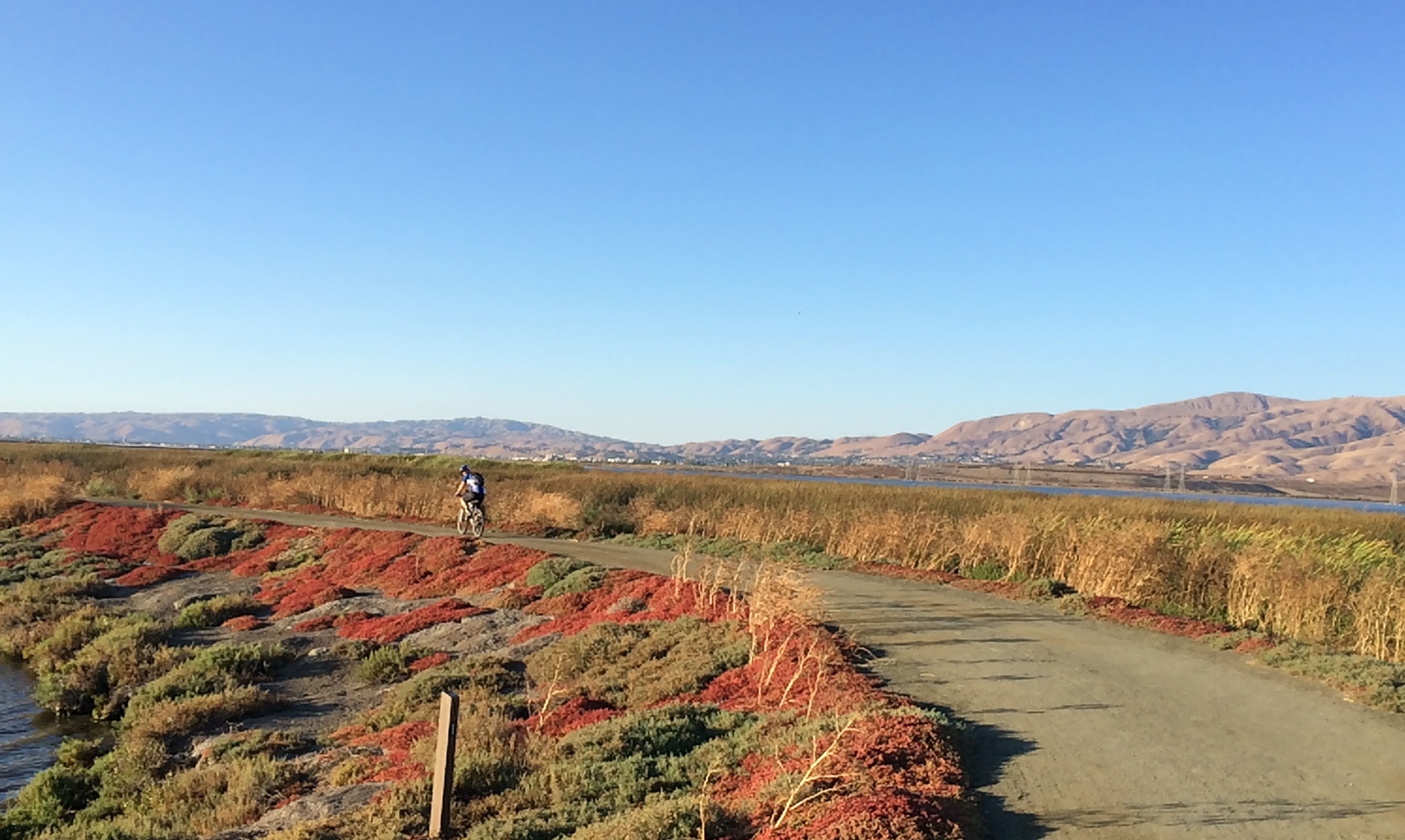
The route we took started from the Mockingbird Hill Lane entrance, which is a great one, plentiful in parking, and having restrooms with running water! We followed Hacienda Trail – straight over to continue on Hacienda Trail – right on Capehorn Pass Trail – right on Randol Trail – continue on Randol Trail – right to continue on Randol Trail (past the Buena Vista Shaft) – right on to Buena Vista Trail – right on to New Almaden Trail – then straight over to continue on New Almaden Trail to return to the Mockingbird Hill Lane Entrance. (see below)

Trail Map

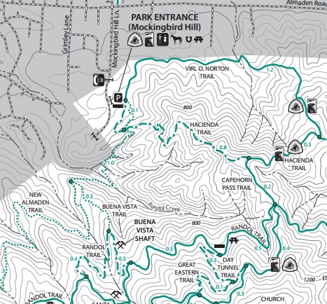
You can download the full map of the park here.

This route takes you past the remains of the Buena Vista Shaft:

Almaden Quicksilver County Park: Buena Vista Shaft

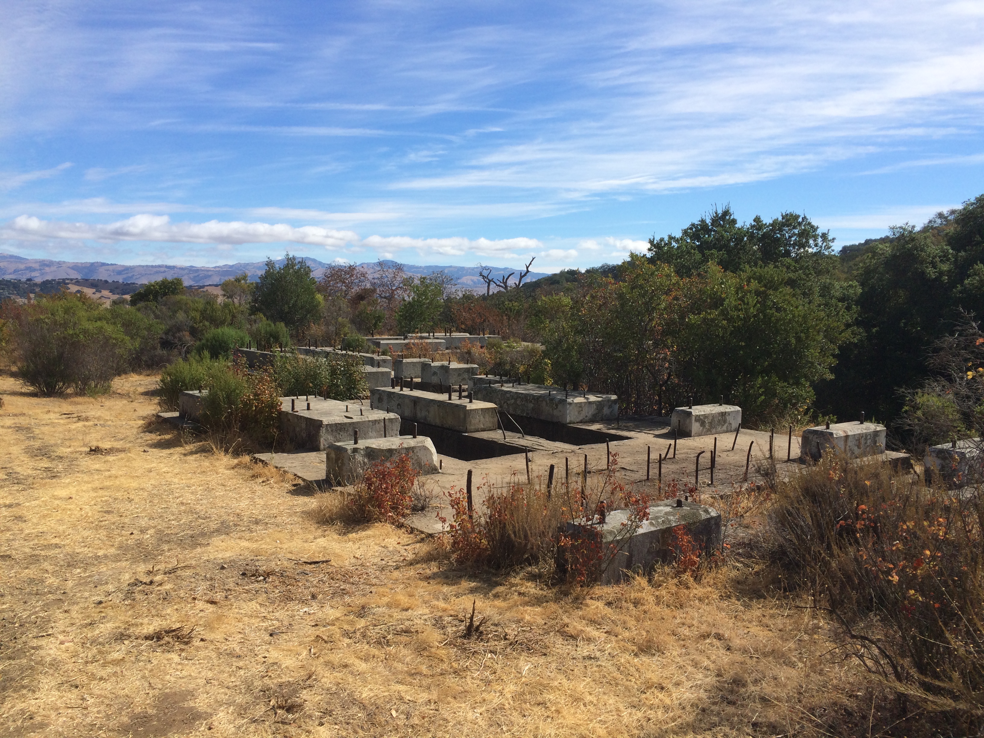
Originally, when it was an operational mine shaft, a big red building was on top of these foundations, which was visible all the way down into San Jose. These days of course all that remains are the stone foundations and a load of metal, and the shaft itself is blocked off with a metal grid:

Almaden Quicksilver County Park: Buena Vista Shaft

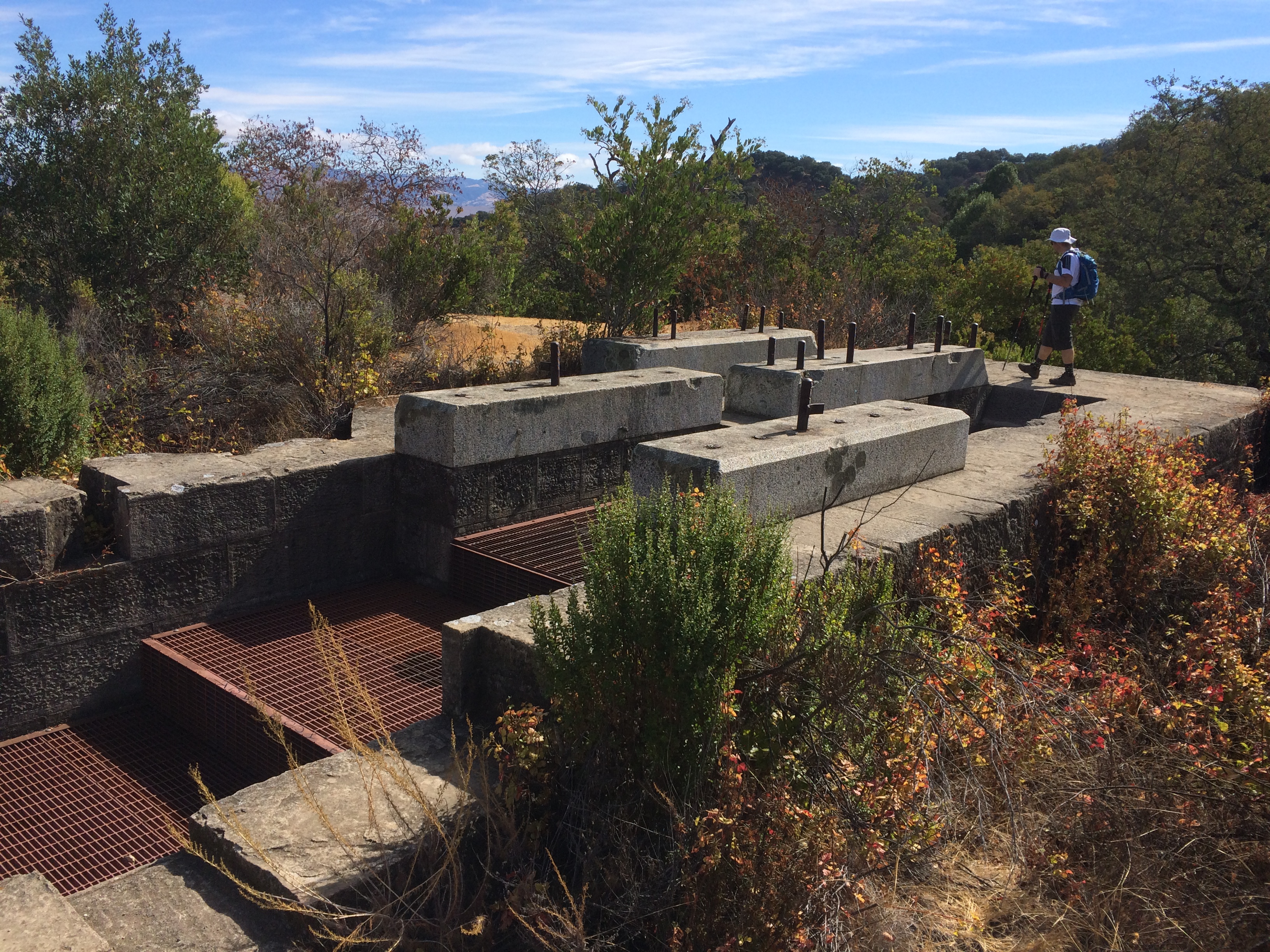
Now, the only dangers are from rocks and the metal screws embedded in the foundations, and the occasional bit of Poison Oak.

Mallard Slough Trail

Last night after Andrew finished work, we took a quick cycle out on the Bay.

This cycle picks up from the same location as the Alviso Slough Trail, except instead of heading out on that trail, we cycled to the Mallard Slough Trail, a smaller trail to the east pictured in orange on the below map:

Alviso and Mallard Slough Trail

From the end of the Lower Guadalupe River Trail, turn right and follow Gold St-right on Catherine St-left/straight onto State St-right on Spreckles Ave-left on Grand Blvd and left again to stay on Grand Blvd and follow it across the train tracks and round to the car park and US Fish and Wildlife Service buildings by the bay.

Railroad Crossing

The Mallard Slough Trail is 3.3 miles in total, or you can cut across to the Alviso Slough Trail via a bridge over the railroad tracks, and take that trail back to the Alviso Marina County Park parking lot.

Mallard Slough Trail

It is a nice, well maintained trail, with vista points and information along the way.

2015.08.11 Endomondo Data

We decided to follow the Mallard Slough Trail, then cut across to the Alviso Slough Trail to go back to the Alviso Marina County Park parking lot, and then followed Hope St-left on Catherine St-right on El Dorado St-left on Moffat St-right on Gold St (the alternative to taking the Public Shore gravel path back across the tracks), and then we were back to the end of the Lower Guadalupe River Trail.

Mallard Slough Trail

Union Valley Bike Trail

Union Valley Reservoir

This weekend Andrew and I took a trip up to the Eldorado National Forest, and camped at Wench Creek Campground on the east shore of the Union Valley Reservoir. There was a big group of us heading up there for my friend’s boyfriend’s birthday, so we reserved Group Site 2, and it was pretty excellent.

Group site 2 includes space for 50 people, flushing toilets, a big camp fire ring with seating all around it, 3 fixed BBQ grills, plenty of tables…… generally is really well set up for a large get together with friends…..

Except no showers. It would be absolutely perfect with showers 😉

Another excellent thing about the campground is that the Union Valley Bike Trail runs along the bottom of the campground, so you can easily hop onto it and indulge in a little there-and-back-again cycle along the shore of the reservoir, and through the forest.

Union Valley Bike Trail

“If I fall… would you guys catch me?”

On Saturday morning we cycled from our group campground to the end of the trail at the main Wench Creek Campground, then followed the trail down to Jones Fork Campground, and back to our site.

2015.08.08 Endomondo Data

You can download the full map of the trail here.

Union Valley Bike Trail

The trail crosses a few creeks that feed into the reservoir, and should fill it with water…. obviously at the moment, much like the rest of California… it is somewhat dry:

Union Valley Reservoir
Union Valley Reservoir Union Valley Reservoir


All those sandy/muddy beaches should be covered in water. Alas, they are not.

It is a really pretty cycle, with some little hills, paved the entire way. It is mostly shaded by the forest, so stays pretty cool too.


Alviso Slough Trail

Yesterday morning I went out on my bicycle for a quick ride around the old salt ponds at Alviso:

Alviso Slough Trail

(You can download the full map here)

These ponds form part of the Don Edwards San Francisco Bay Wildlife Refuge, that extends around most of the lower part of the bay.

The start of this ride is the northernmost end of the Lower Guadalupe River Trail, where it meets Gold Street. If you look across the road at this point, a gravel track leads across the railroad tracks to the public shore, a gravel trail that will take you to the Alviso Marina County Park parking lot.

Lower Guadalupe River Trail


(Note: you could also park at the Alviso Marina County Park parking lot, and start the cycle from there)

Be careful when crossing the tracks that you check for oncoming trains, but you can’t miss them…. they are kinda loud! It is an Amtrak line, so has limited train traffic.

Once at the Marina cycle through the parking lot towards the entrance, then out towards the trail.

The Alviso Slough Trail is 8.6 miles long, the added bit from the end of the Lower Guadalupe River Trail makes this ride 10.2 miles… or at least according to Endomondo:

15.08.04 Endomondo Data


I cycle to the end of the trail first, which adds almost another 7 miles total. It was slightly overcast yesterday, with a bit of a breeze, which can make the cycle a little more challenging, but overall it is a flat, gentle, and scenic cycle. It is also very exposed, so I wouldn’t recommend it on a hot day, but with a breeze it keeps you cool, and also keeps the bay stink from being too overpowering!

Alviso Slough Trail

On a clear day, you can see the hills and mountains all around the bay, and their reflection in the water.Alviso Slough Trail


Also, on a clear day if you look north, up the train lines, you can see some of the remains of Drawbridge, an old abandoned railroad station and ghost town, just hanging out there by the train tracks, and slowly sinking into the mud.

Alviso Slough Trail

Monday Morning Hike: Santa Teresa County Park

Another Mid-Week Hikers hike, this time we took a short hike in Santa Teresa County Park.

We met up at the intersection of Bernal Road and Heaton Moor Drive. There is no parking lot here, but a fairly large amount of street parking, so it is not necessary to pay the usual entrance fee.

The proposed route followed: Road- Ohlone Trail – Mine Trail – Norred Trail – Joice Trail – Vista Loop – Joice Trail – Bernal Hill Trail – Mine Trail – Ohlone Trail – Road.

15.08.03 Route


You can download the full park map here.

It was stated to be a ~4.5 mile round trip, my Endomondo data puts it to be 5.27 miles, but it does sometimes overestimate these things 🙂

15.08.03 Endomondo Data


The route was quite exposed with little shade, which on a hot day would make this somewhat more challenging, but this morning was a great morning for a hike!

Santa Teresa County Park

It was sunny but not too warm, with a very pleasant breeze coming off the bay, and you could see for a quite a way across San Jose.

We again saw some deer in the park, very tame:

Deer